Hawke’s Bay Civil Defence has recently released an updated tsunami evacuation map aimed at simplifying evacuation procedures for residents and increasing the region’s overall preparedness. The new model merges the previous red, orange, and yellow zones into a single blue evacuation zone, making it easier for communities to understand when to self-evacuate in the event of a tsunami threat.
This change comes as part of an ongoing effort to ensure that people living in tsunami-risk areas can respond quickly and decisively. In the event of a large earthquake, the general rule remains: if the shaking is long or strong, get gone. With tsunami waves potentially reaching the shore in as little as 15 minutes, there is no time to wait for official alerts—self-evacuation is key.
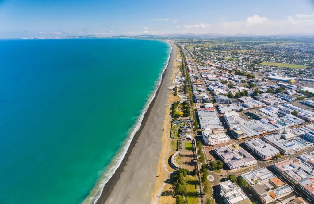
The updated evacuation modelling has improved accuracy, particularly between Clifton and Tangoio, offering clearer guidance on which areas are most at risk. By streamlining evacuation zones into one, the goal is to reduce confusion and help residents act quickly in an emergency.
Hawke’s Bay Civil Defence continues to encourage residents to practice their tsunami evacuation routes, often referred to as tsunami hīkoi. Knowing the fastest route to higher ground or inland is critical, as is practicing these routes with family members and neighbors. Preparing for these emergencies can make all the difference when every second counts.
For more information about the new tsunami map, you can visit the official Hawke’s Bay Civil Defence website here, where you can also view the updated tsunami evacuation zones.
Stay prepared, stay informed, and remember: if it’s long or strong, get gone.

Find out how our EPOD Emergency & Disaster Pods can build resilience and self-sufficiency in your community. Download our helpful guide.
